ADSUL
TYPE : HILL FORT
DISTRICT : PALGHAR
HEIGHT : 1375 FEET
GRADE : VERY HARD
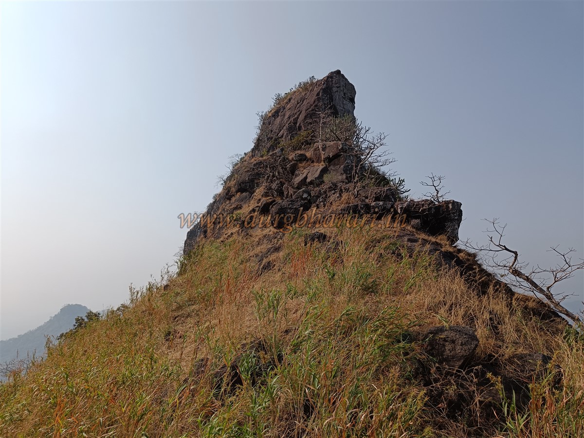
While traveling from Mumbai towards Ahmedabad, on the left side of the highway in Palghar Taluka stands the Asheri Fort, and on the right is a pointed pinnacle known as Adsul. Many refer to this pinnacle as Adsul Fort or Adkilla. However, there are no remnants of a fort atop this structure, and seeing the lone water cistern at the top, it seems this place might have only served as a watch point. A visit to Adsul pinnacle can be completed in a single day from Mumbai, whether by train or private vehicle. Although Boisar railway station on the Western Railway is the nearest location to reach Adsul, it lacks convenient transportation options to get to the highway, making Dahanu station a more practical choice.
The village of Khodkona, at the base of Asheri Fort, is 24 km from Boisar via Chilhar Phata and 36 km from Dahanu via Charoti. The distance from Chilhar Phata to Khodkona village is 7 km. Khodkona is situated inland from the highway.
...
While heading towards Ahmedabad from Mumbai, around 5 km from Chilhar, a turn on the left side of the highway leads to Khodkona village, where the Forest Department has put up a signboard for Asheri Fort. From this point, if you look towards the opposite side of the highway, you will see a ridge extending from the Adsul pinnacle in the direction of the highway. This ridge is the path to ascend the pinnacle.
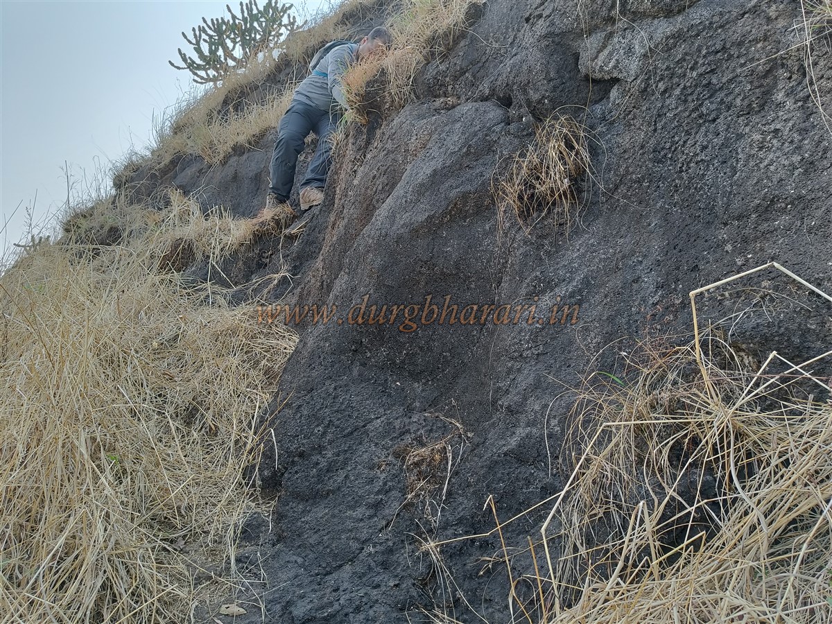
Since very few people visit Adsul, the trail is not well-marked, so it is advisable to take a local guide. If one doesn't have a private vehicle, they will have to walk about 1 km from the junction to Khodkona village. Local guides to Adsul are available in Khodkona. Adsul is a difficult-category pinnacle, and in 2015, a trekking group installed a 20-foot-high ladder at the final stage of the climb. However, during the COVID-19 pandemic, visits stopped completely, and the ladder was stolen. Originally already difficult, the absence of the ladder has made the ascent extremely challenging, requiring the use of mountaineering techniques and gear.
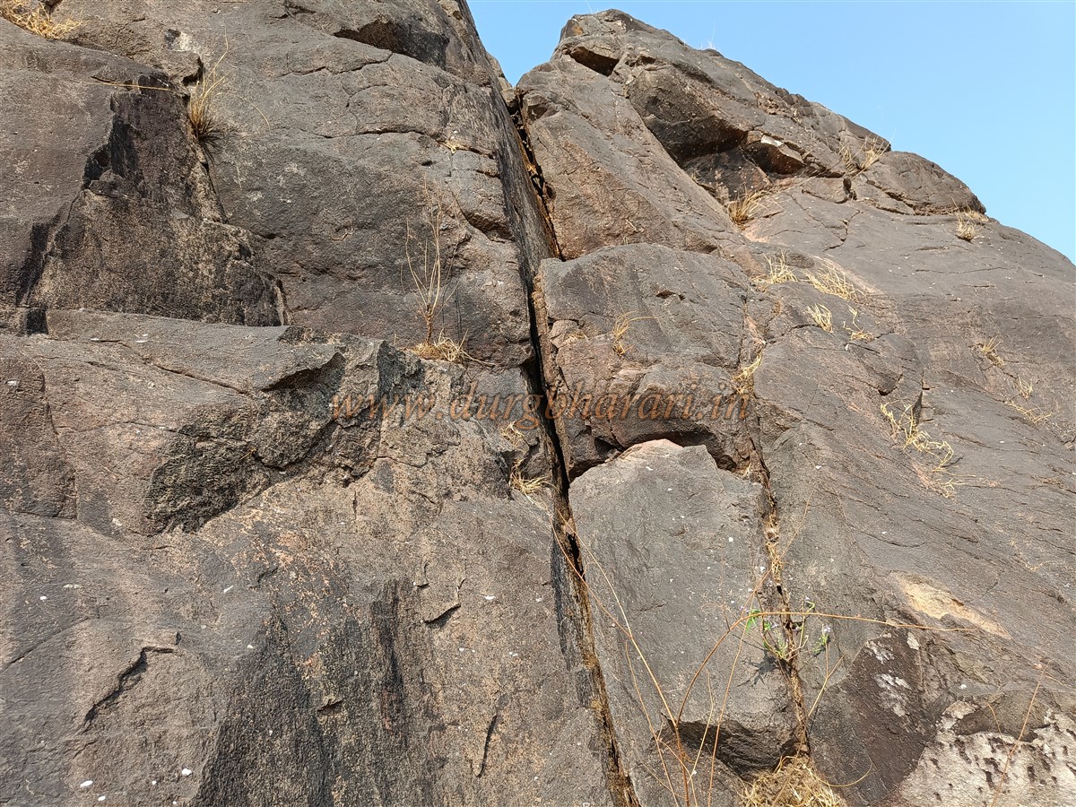
As there is no drinkable water along the way, one must carry enough water either beforehand or from Khodkona before starting the climb. A total of four hours is sufficient for ascending and descending Adsul. Though the path to the pinnacle is through dense forest, the humid conditions make the ascent quite exhausting. From the highway, it takes about an hour to reach the base of the pinnacle. From here begins the real struggle on the trail. At the beginning, one has to climb a 6-foot-high rock patch. From here on, the path is completely scree-covered, and one has to almost behave like a monkey to proceed.
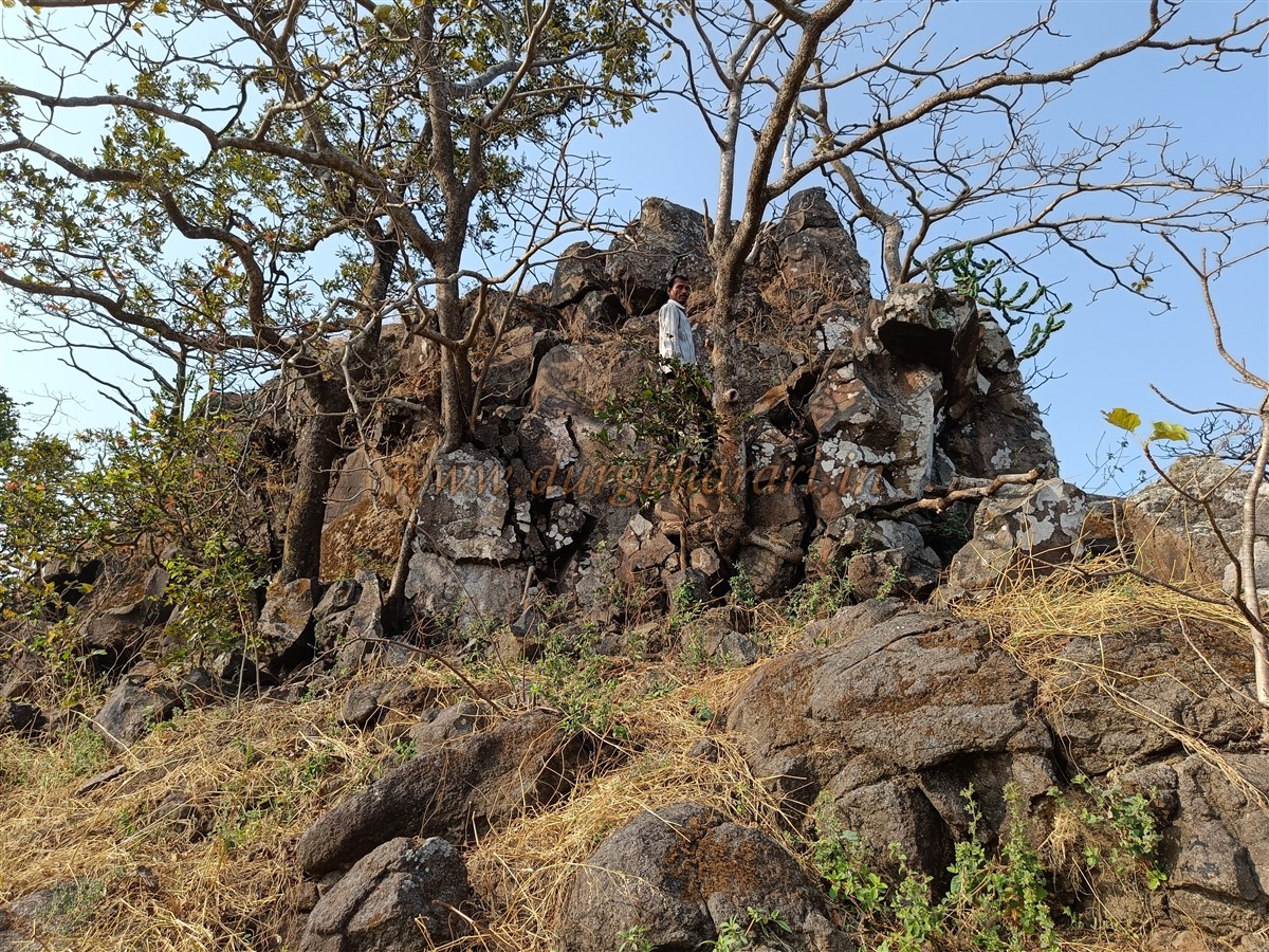
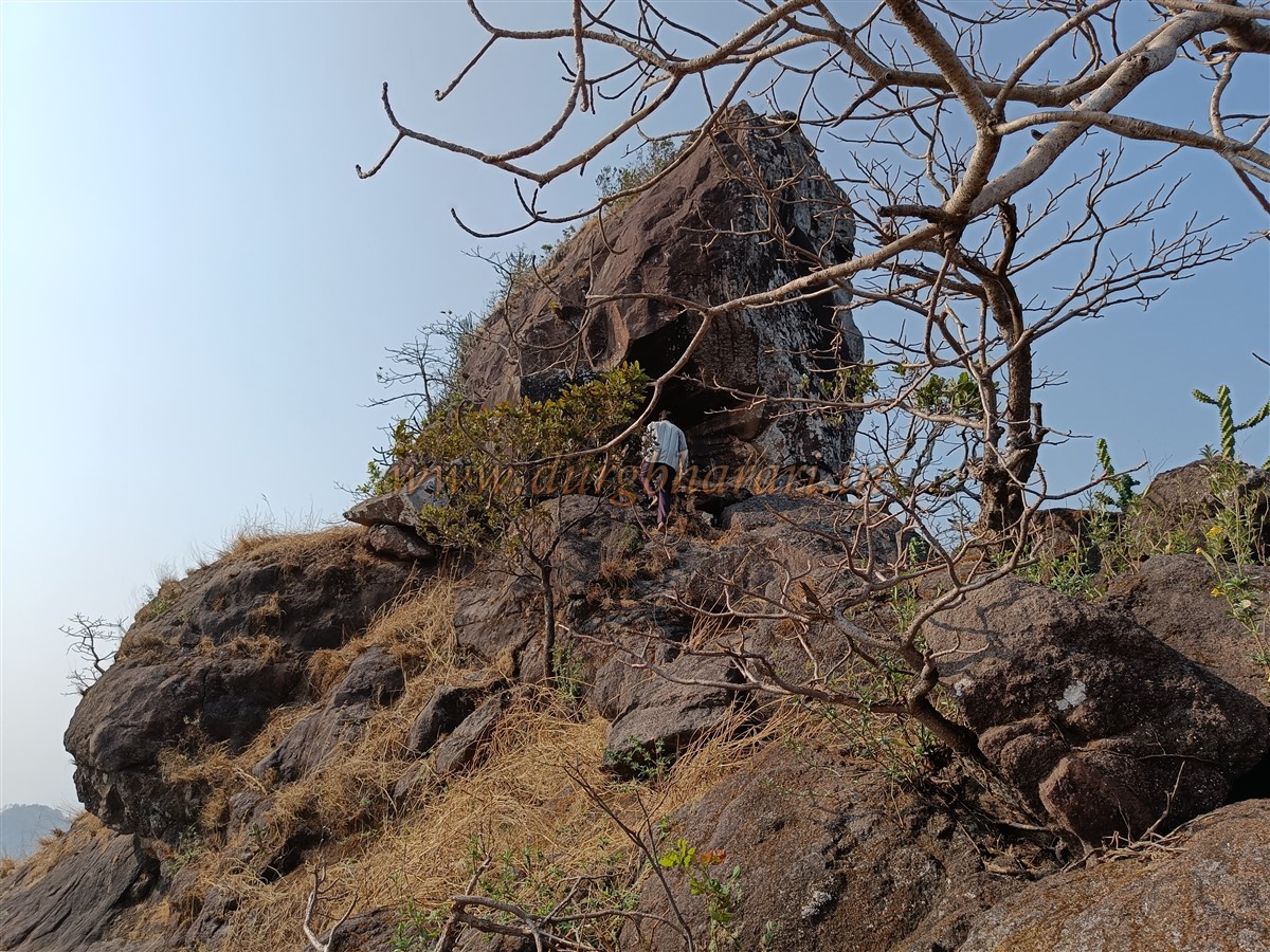
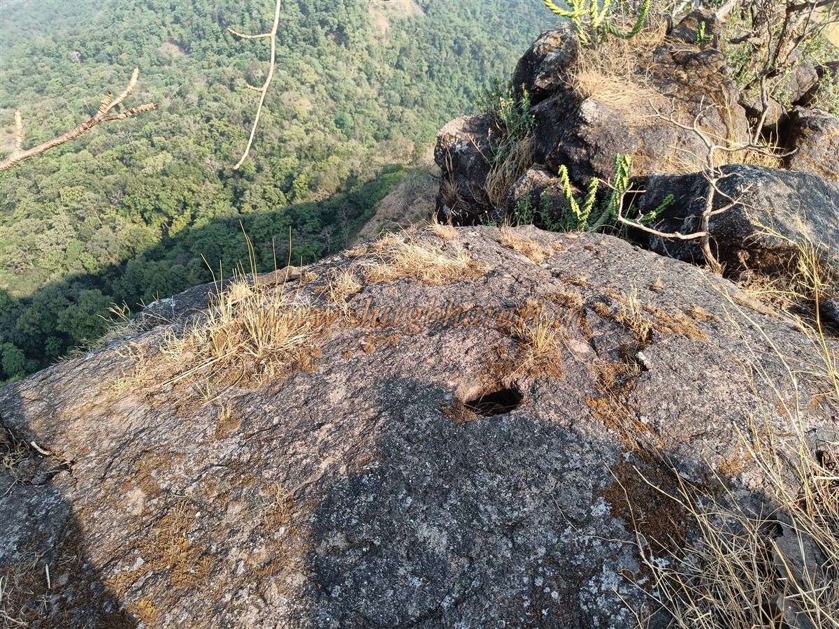
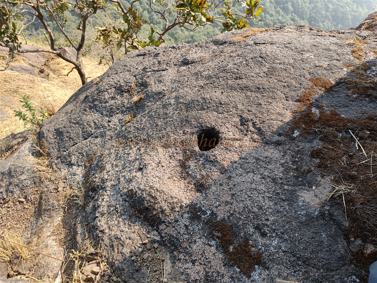
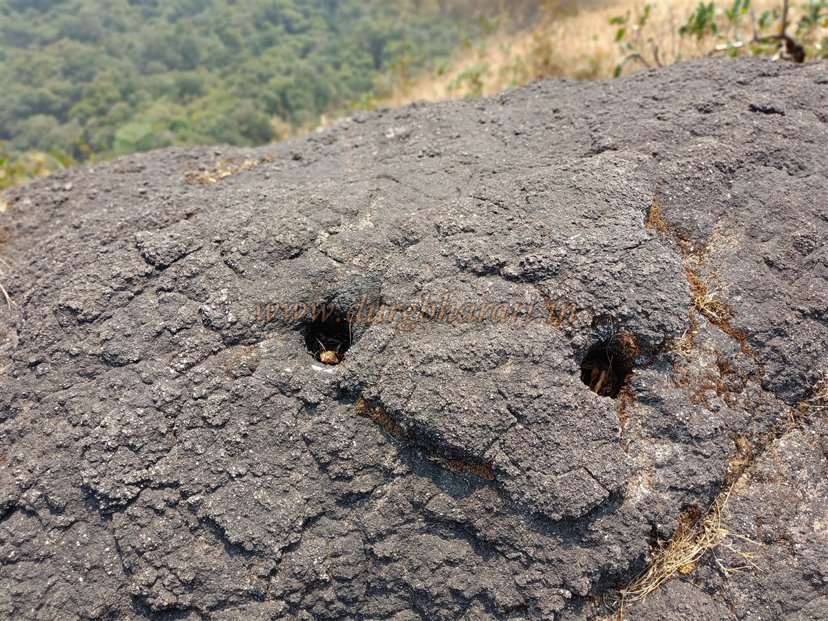
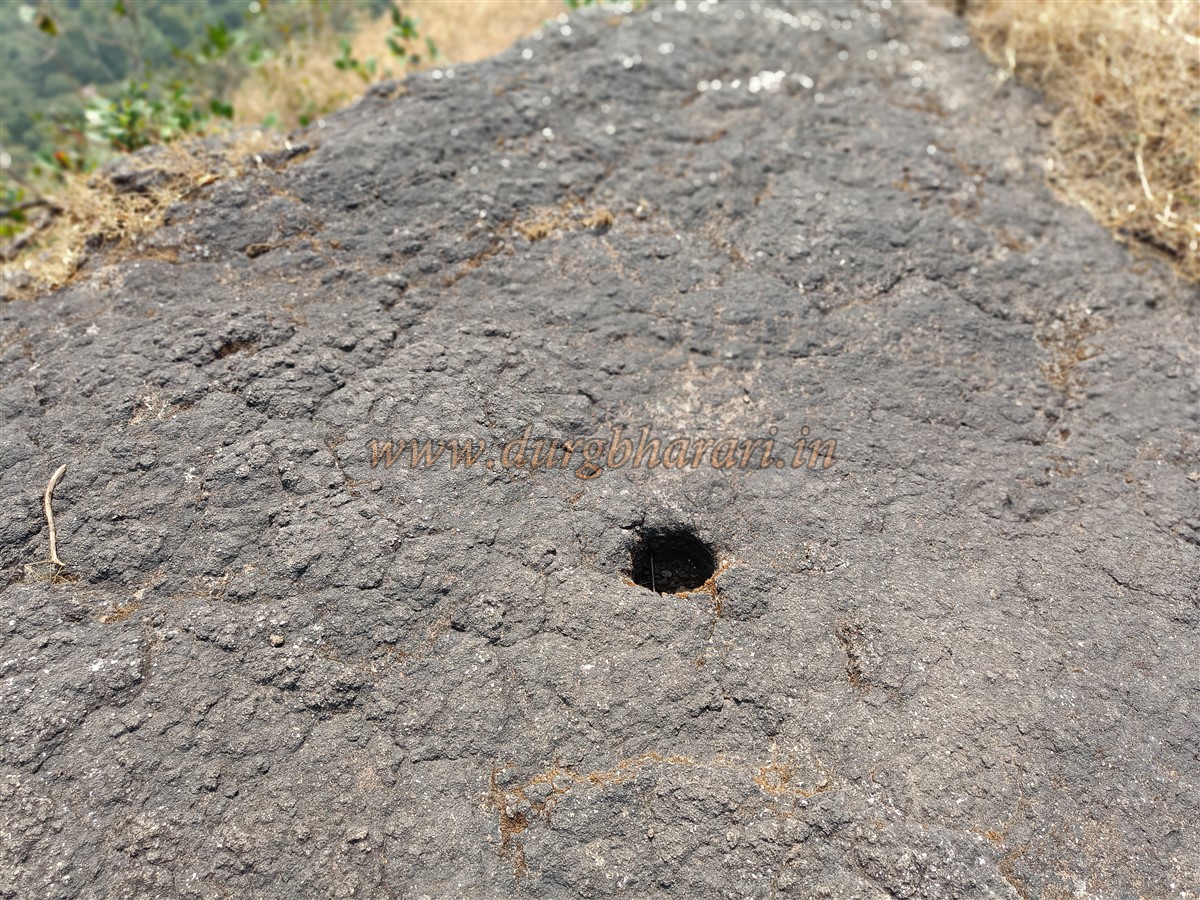
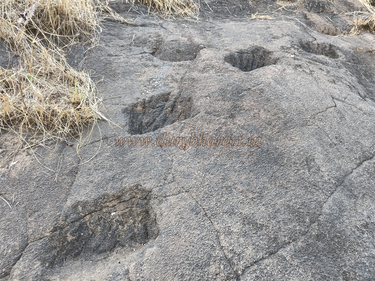
There are three major rock patches on the trail. At two places, notches have been carved into the rock, while at one location, one has to climb by holding onto the rock itself. After crossing all four of these patches, and negotiating more rock surfaces, one reaches just below the topmost pinnacle. Along the way, two circular holes carved into the rock—likely for blasting or railings—can be seen. This rock face is about 20 feet high, and previously a ladder was installed here. Earlier, one could muster some courage and climb up, but now, without mountaineering gear, there is no option. If a single step goes wrong, it's a straight 400-foot fall. After ascending this part, there's another small scree section to cross before reaching the summit of the pinnacle.
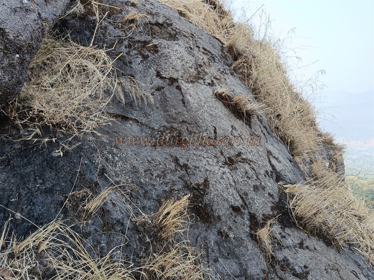
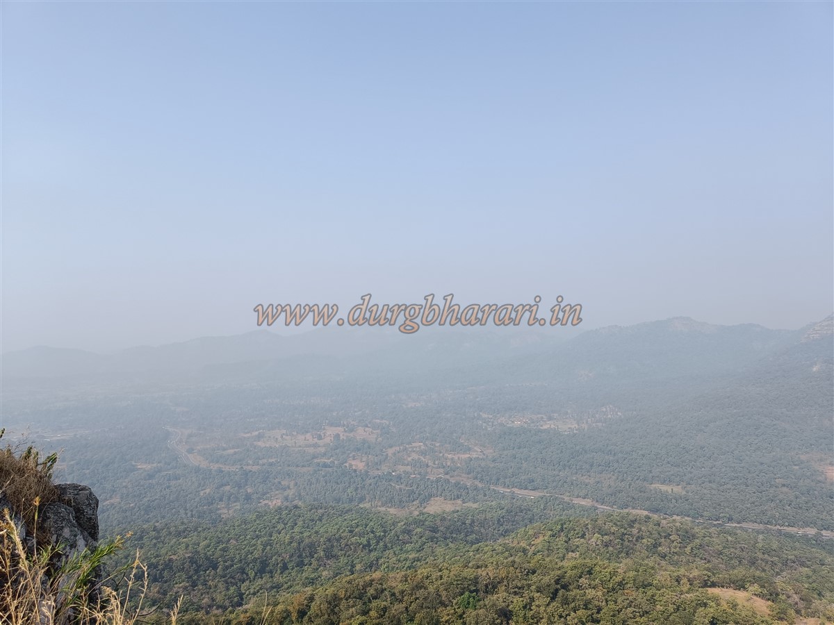
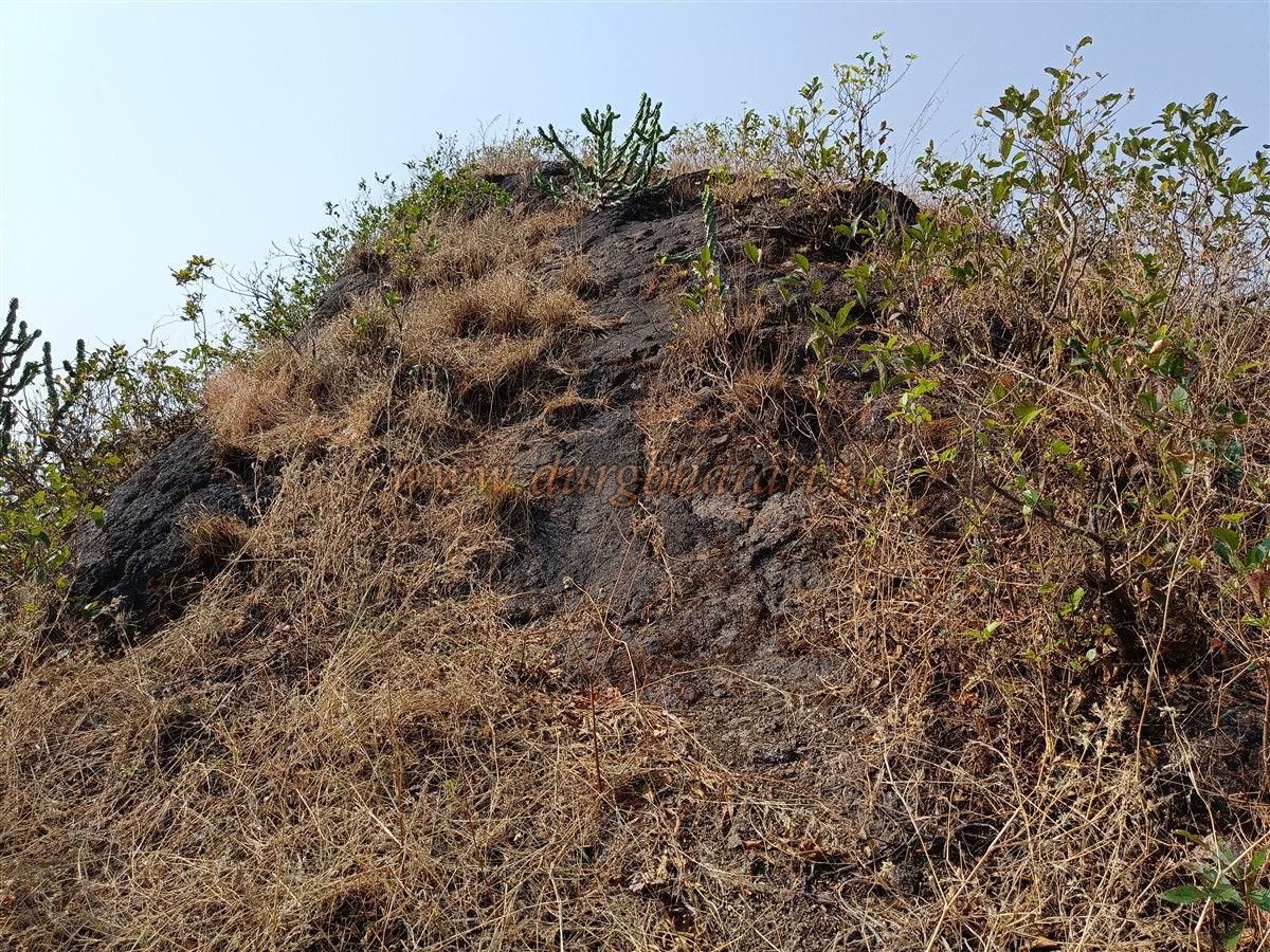
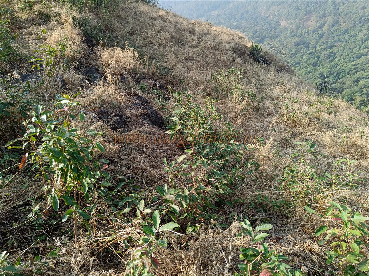
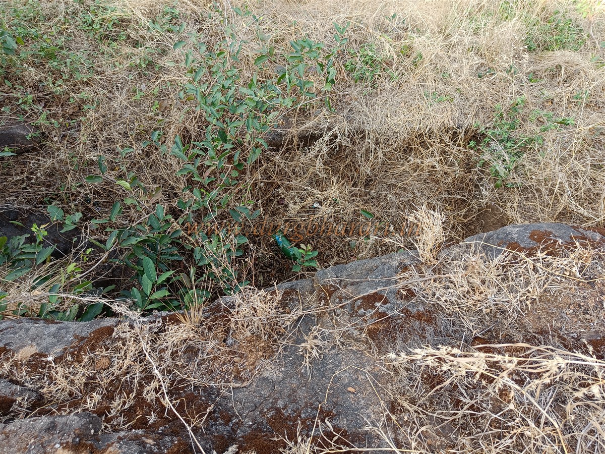
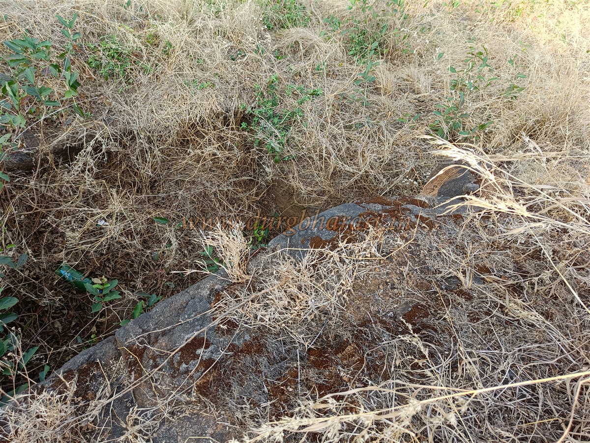
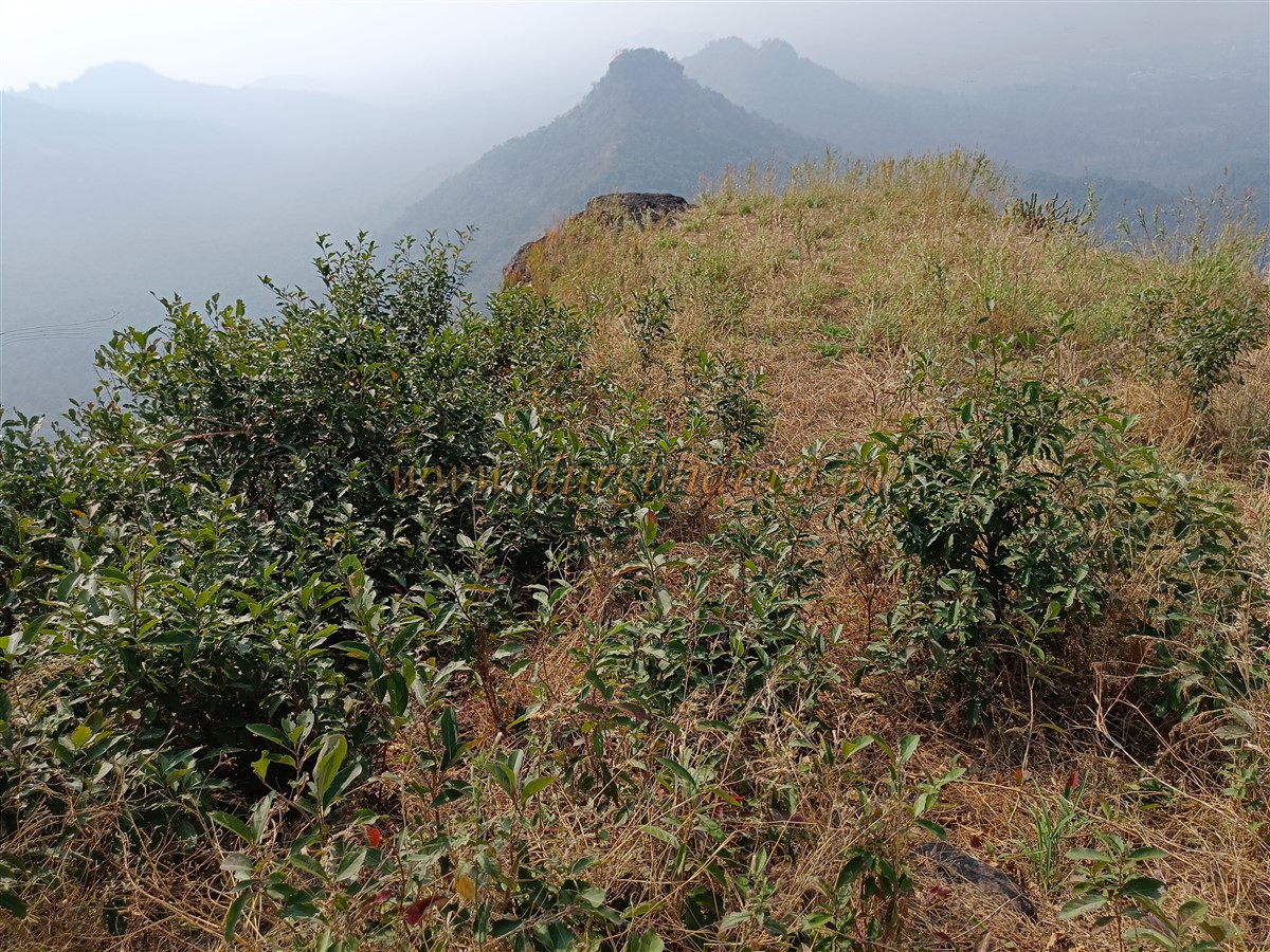
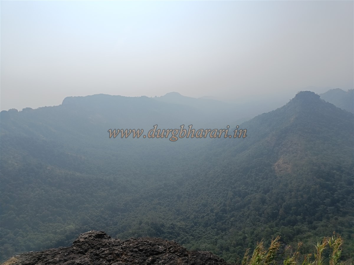
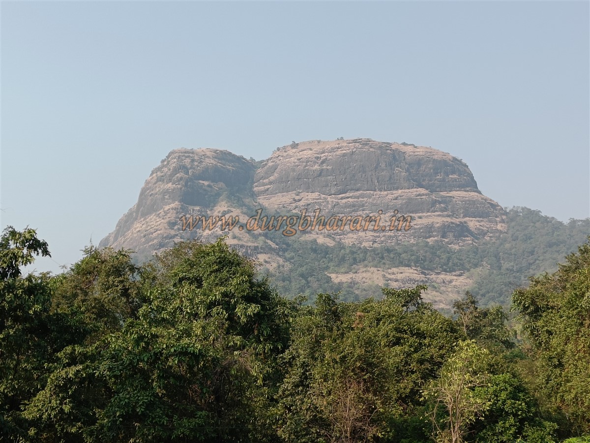
The top of the pinnacle is very narrow. Apart from a water cistern now filled with soil, there are no remnants visible. Two rounded depressions are carved into one rock here, and a third is located a short distance away. After viewing the soil-filled cistern and returning to the path, the trek concludes. From this spot, forts like Viwalveḍe, Segwa, Gambhirgad, Kohoj, Takmak, Kaldurg, and Asheri can be seen, along with the riverbeds of Surya, Pinjal, and Vaitarna rivers. The serpentine curves of the Mumbai-Ahmedabad National Highway flowing below appear like a river. It takes just about 10 minutes to explore the top of the pinnacle.
According to historical records, this region, originally under King Pratap Bimb, came under the control of the Gujarat Sultanate in the 14th century. In 1556, when the Portuguese captured Vasai, a treaty between them and the Gujarat Sultan granted them control over Asheri Fort, six Pargana, and thirty-eight villages in the region. Because of the dense forests of teak trees, which were used for shipbuilding, the importance of Asheri Fort increased under Portuguese rule. From 1556 to 1683—a full 130 years—the fort remained under Portuguese control. During this period, it is believed that a watch post was established on the Adsul hill opposite Asheri to guard the area.
During Shivaji Maharaj’s time, after the Kalyan-Bhiwandi campaign of 1657, the Portuguese Viceroy wrote in 1658 to his king stating that Shivaji had disturbed their northern territories. Later, during the reign of Sambhaji Maharaj in 1683, the Marathas captured this region along with Asheri Fort, but in October 1687, the Portuguese reclaimed it. Eventually, during Chimaji Appa's Vasai campaign, the Marathas laid siege to Asheri Fort and captured it from the Portuguese on 24 January 1738, integrating the region into the Maratha state.
© Suresh Nimbalkar
GALLERY