ACHLA
TYPE : HILL FORT
DISTRICT : NASHIK
HEIGHT : 3766 FEET
GRADE : MEDIUM
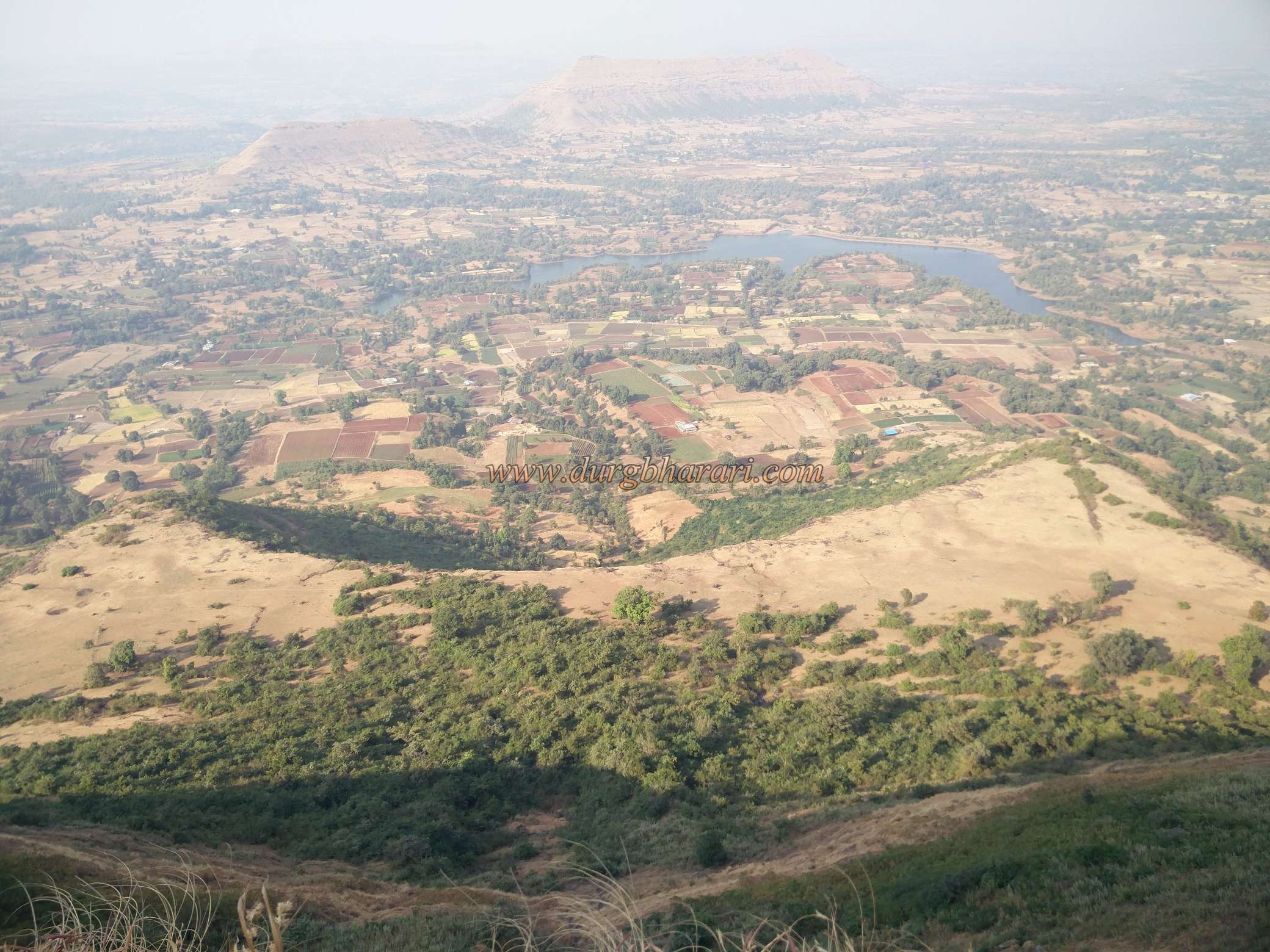
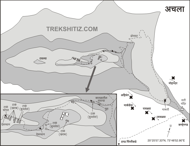
Ajanta-Satmala sub-range of Sahyadri is spread in the middle of the Nashik District from the eastern to western parts. There are many forts located in this east-west range. This series of forts include famous forts as well as some unfamiliar forts. The beginning of the Ajanta-satamala range starts from an unfamiliar fort known as Achla. Pimpri Achala is a base village of the fort. on the Nashik- Saputara highway if you have a private vehicle you can directly settle near Pimpri Pada fort. The distance from Nashik to Pimpri Achala via Vani is 54 km whereas the distance from Vani is 12 km. The distance from Pimpri Achala to Pimpri Pada is 2.5 km. There is a way leading to the fort from Hanuman Temple.
...
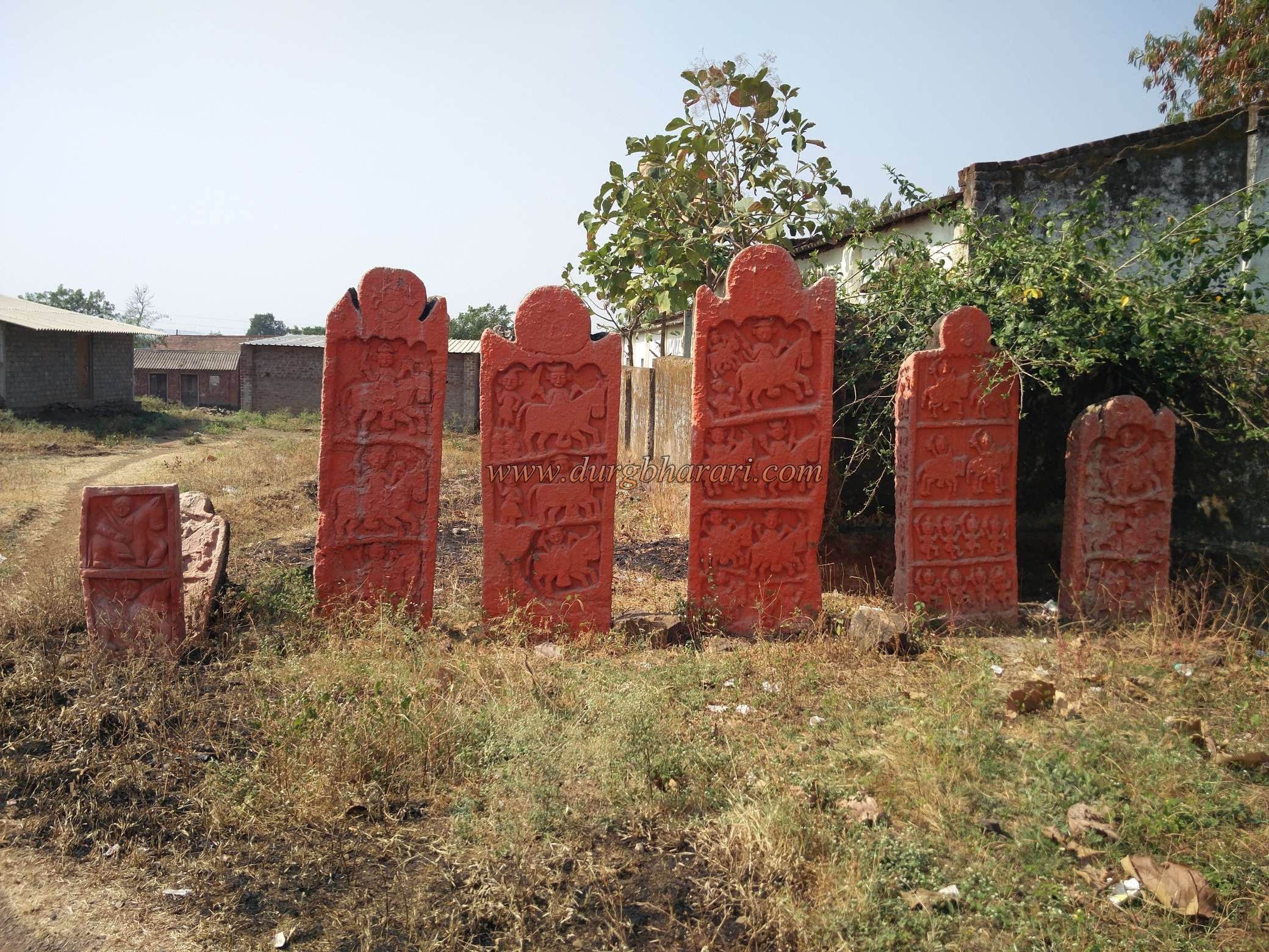
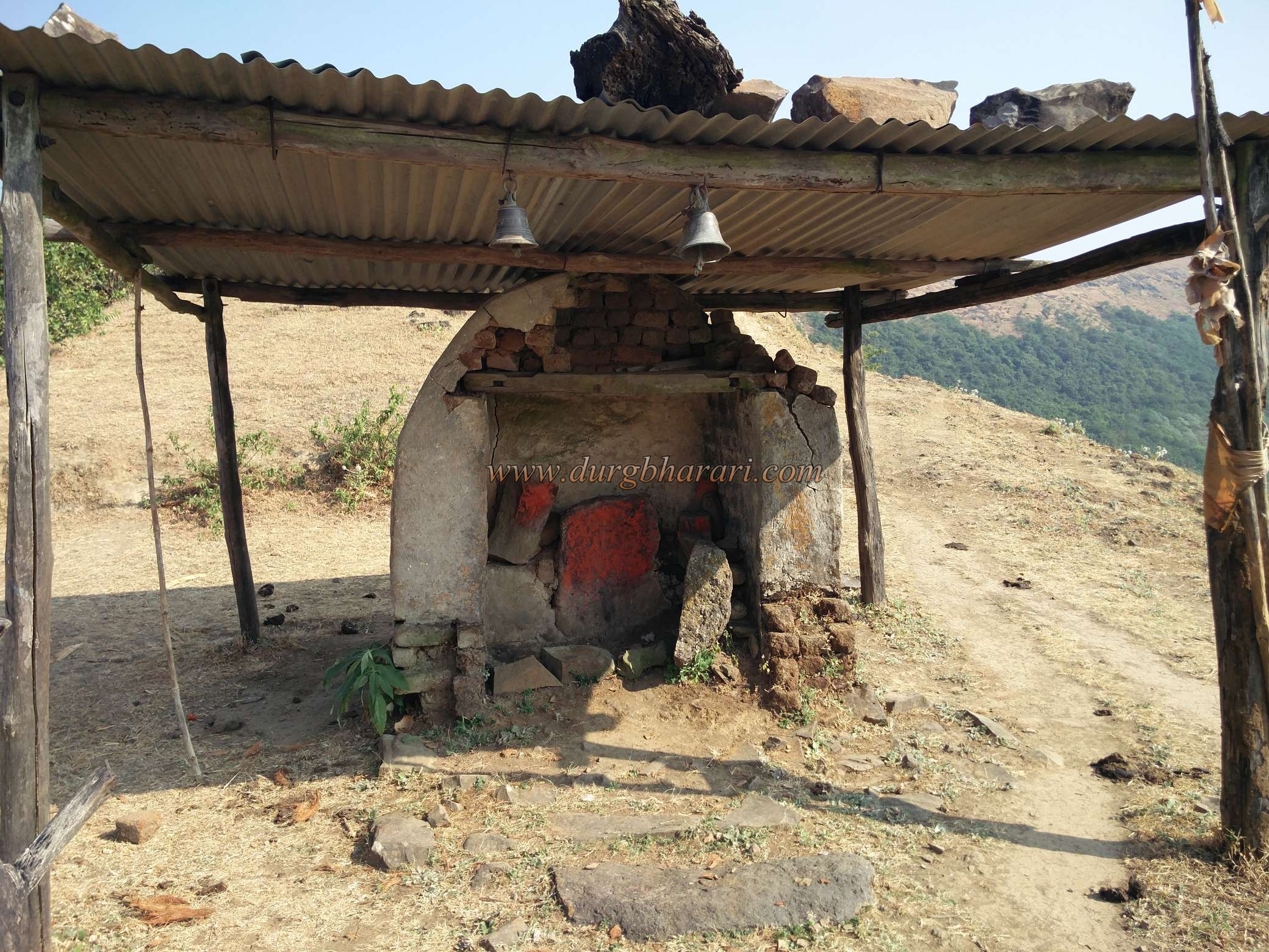
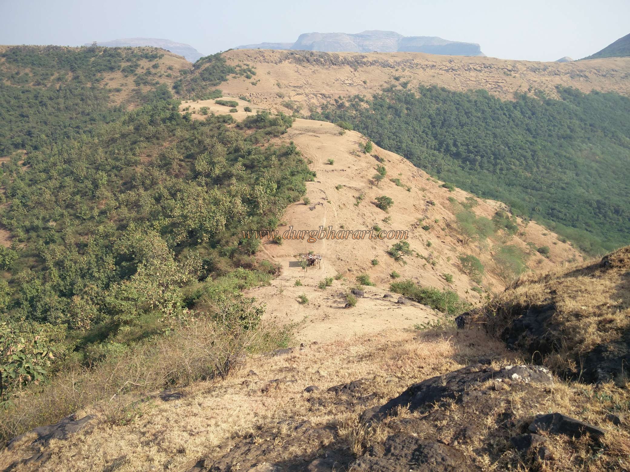
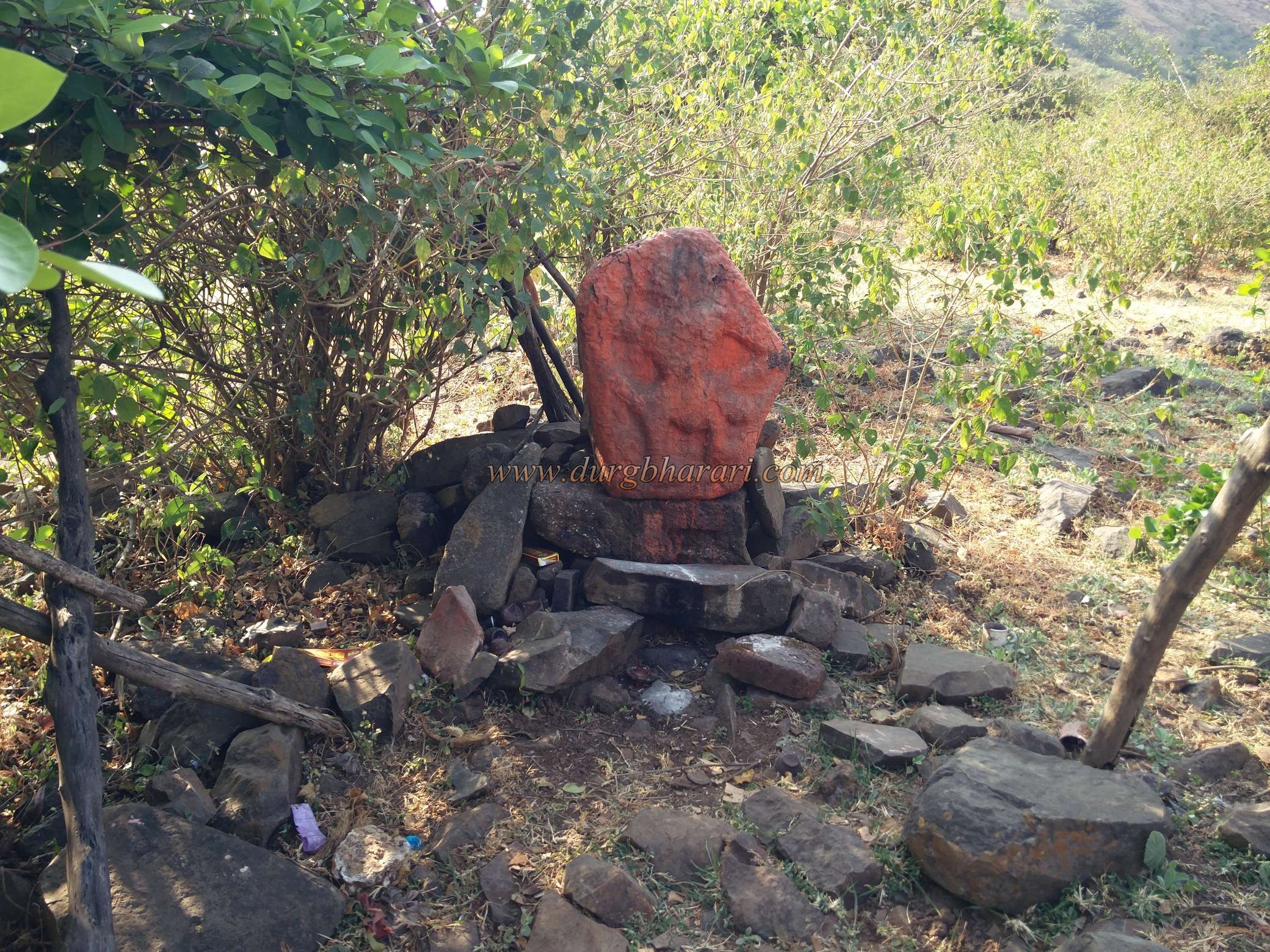
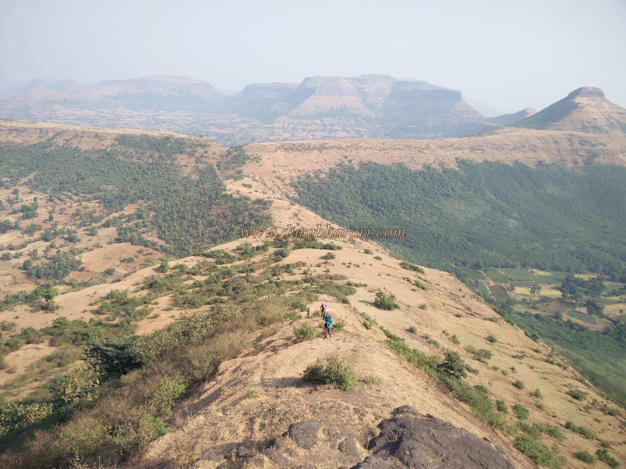
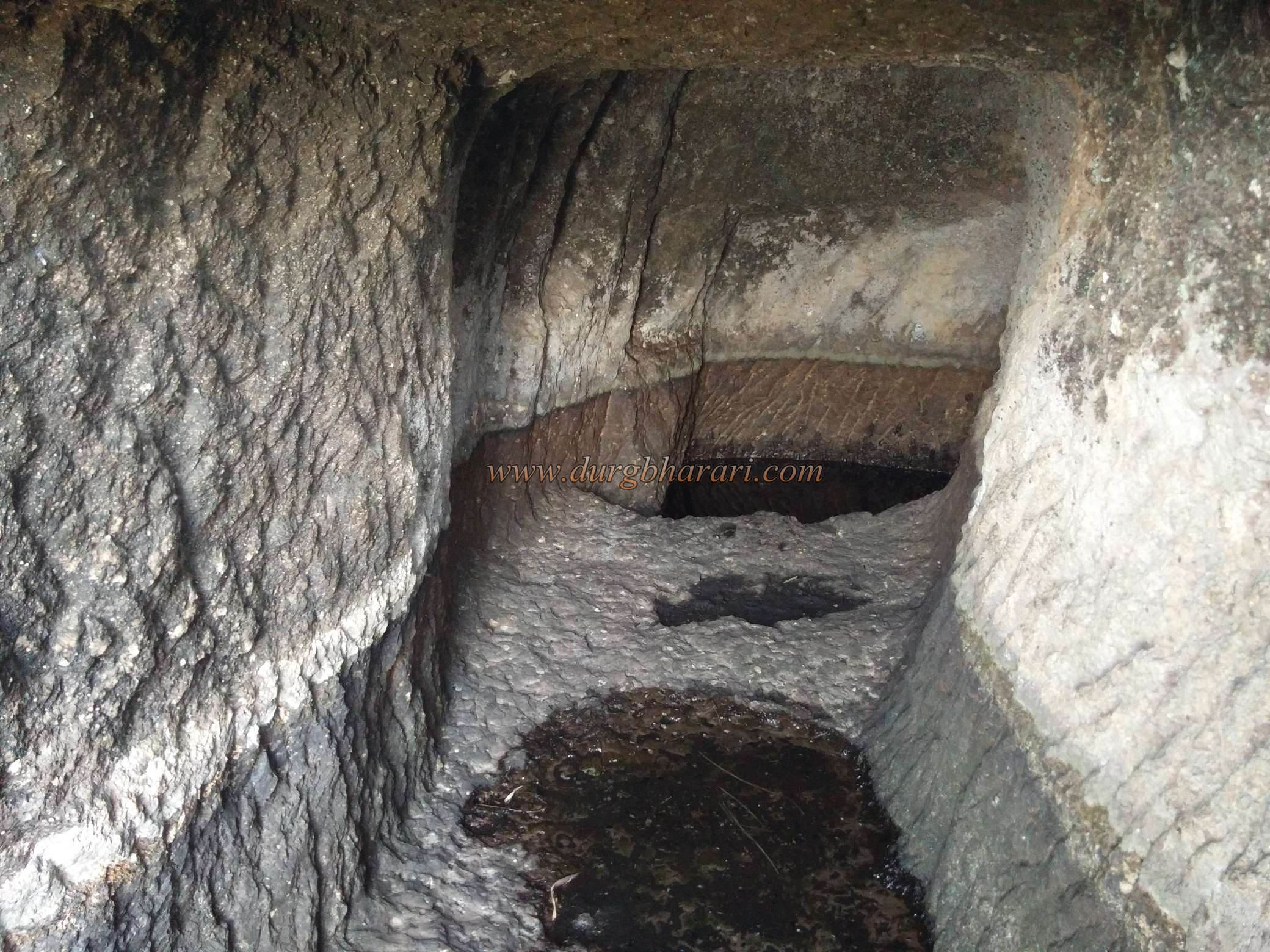
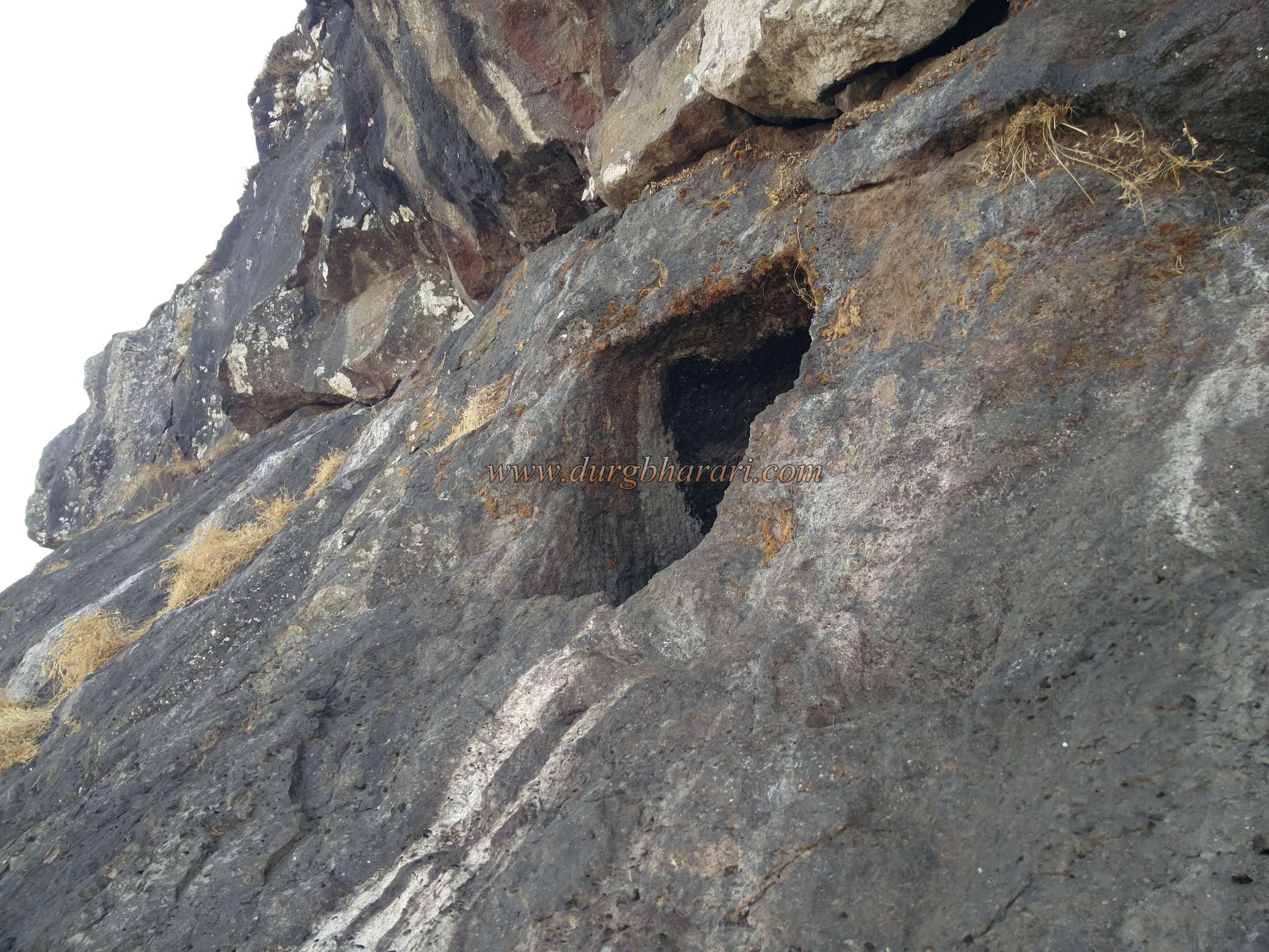
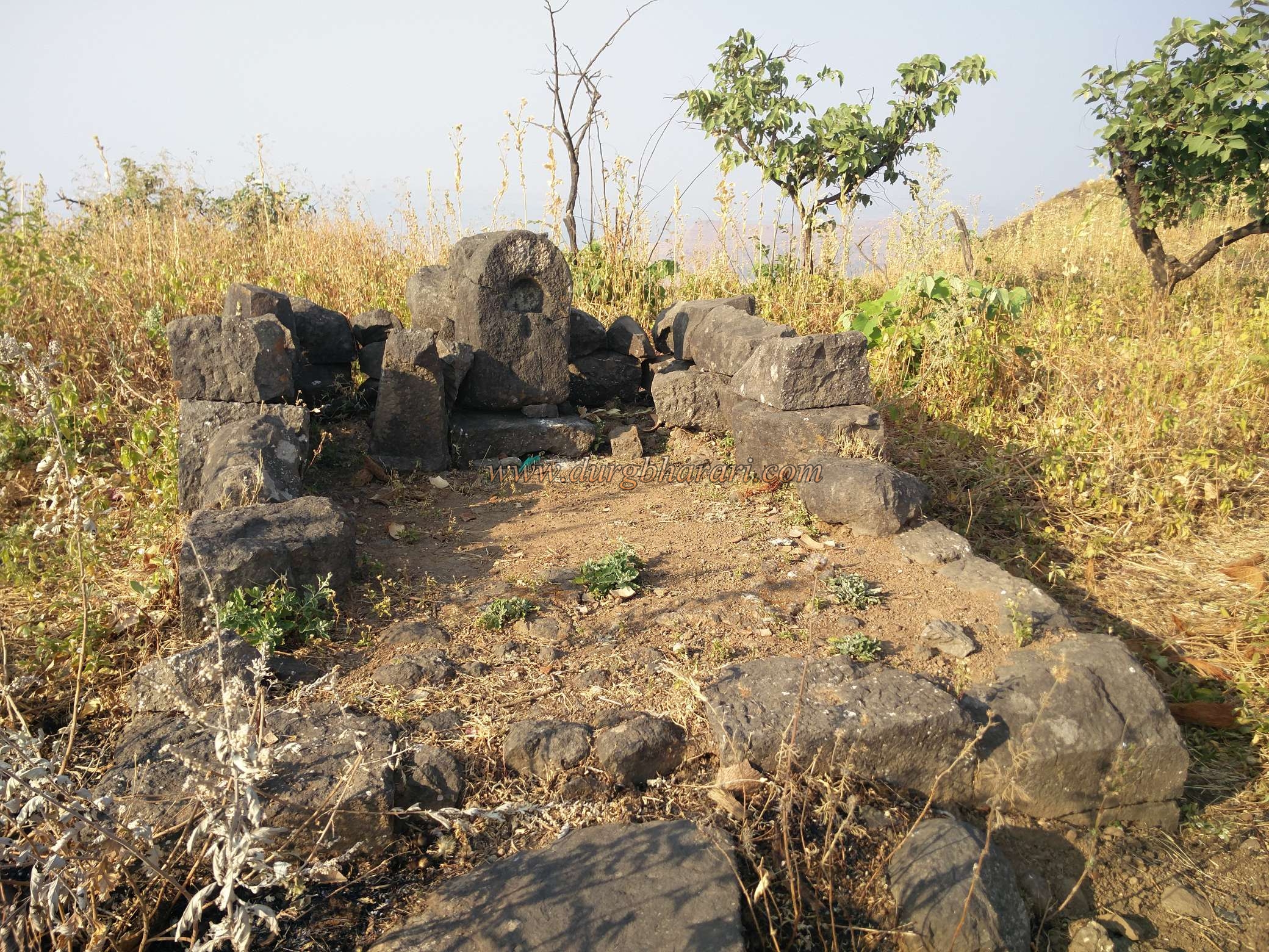
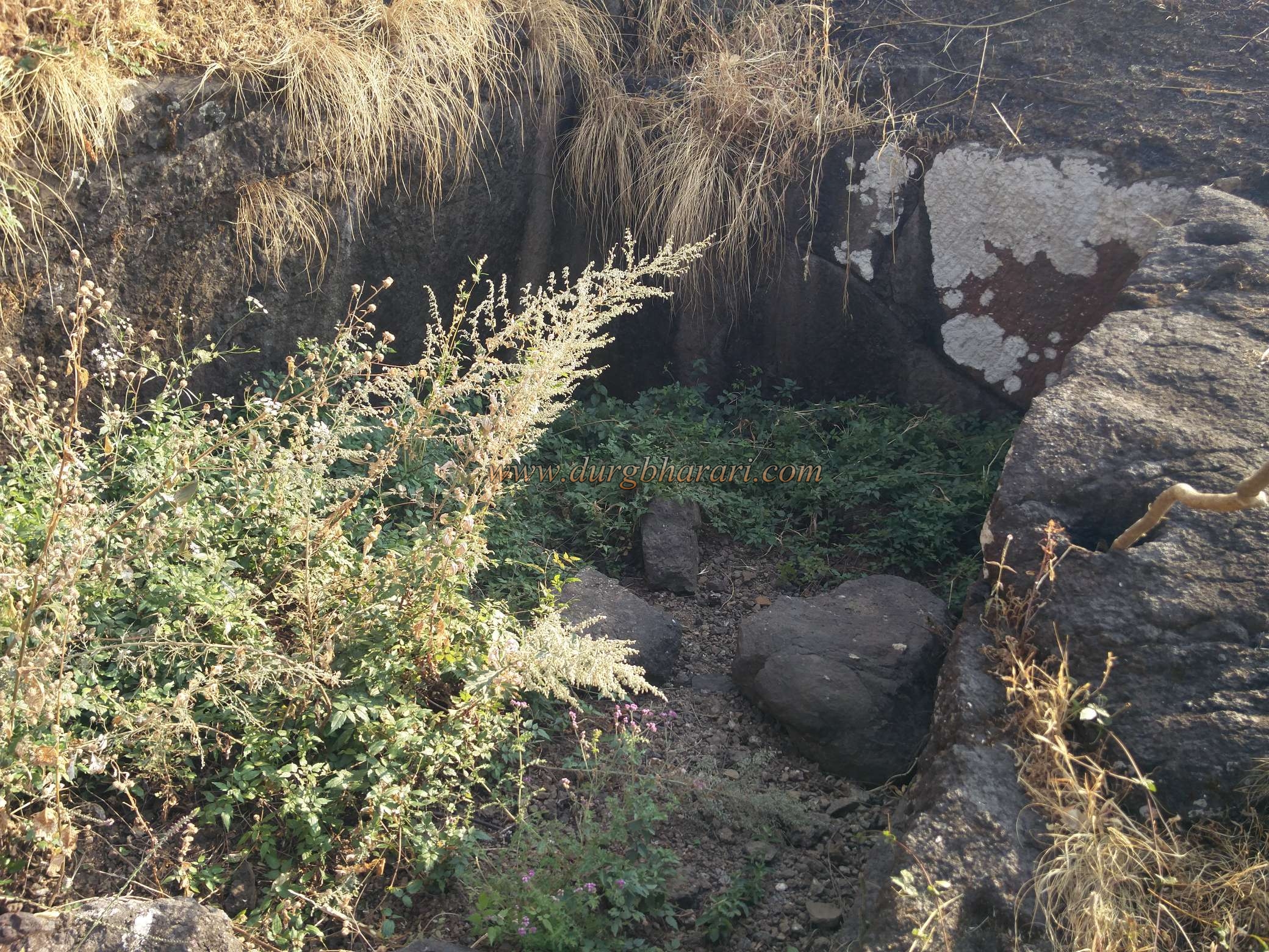
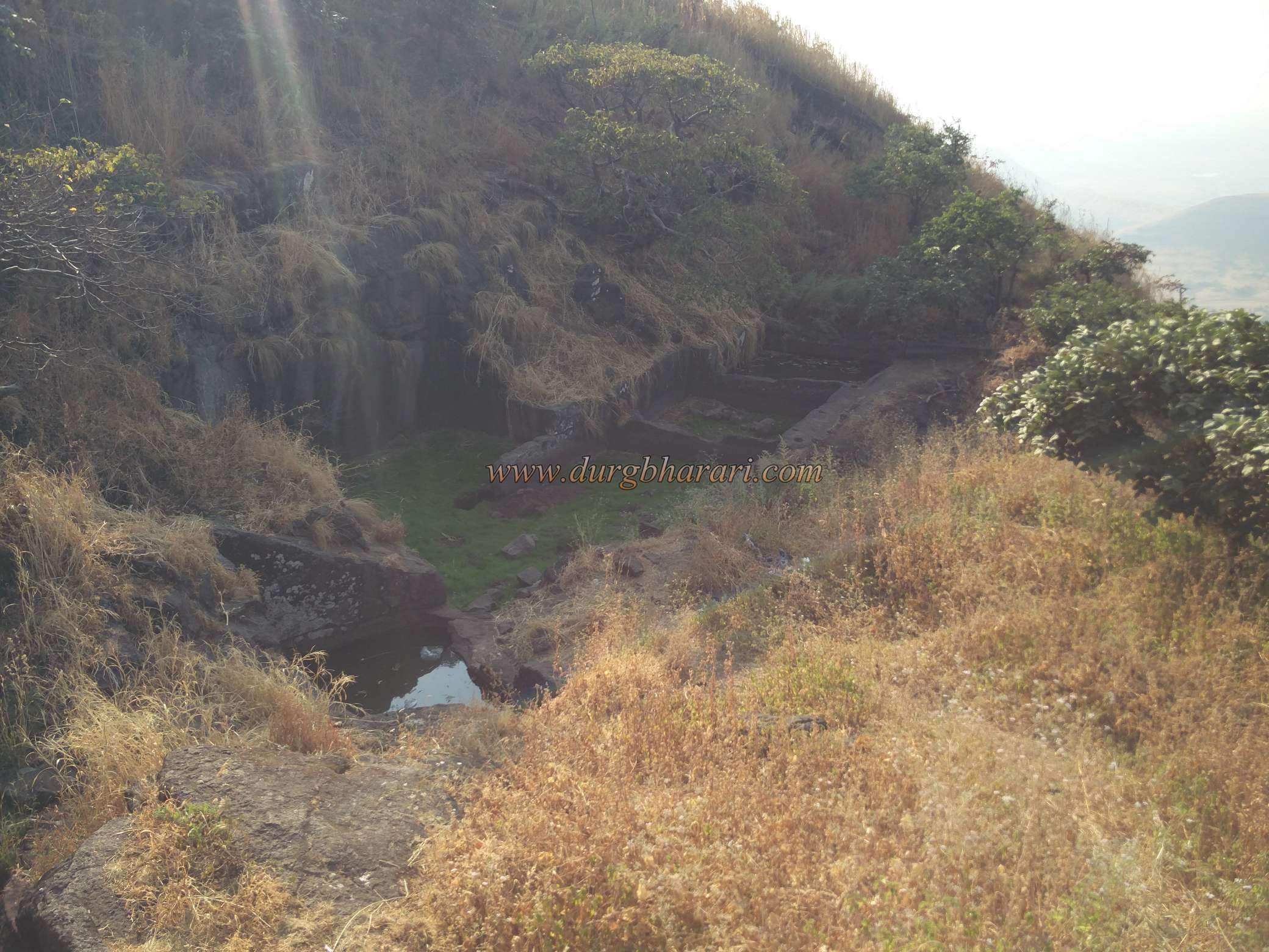
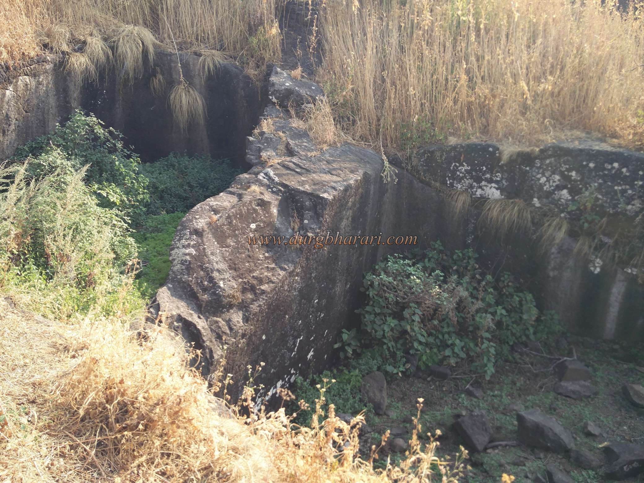
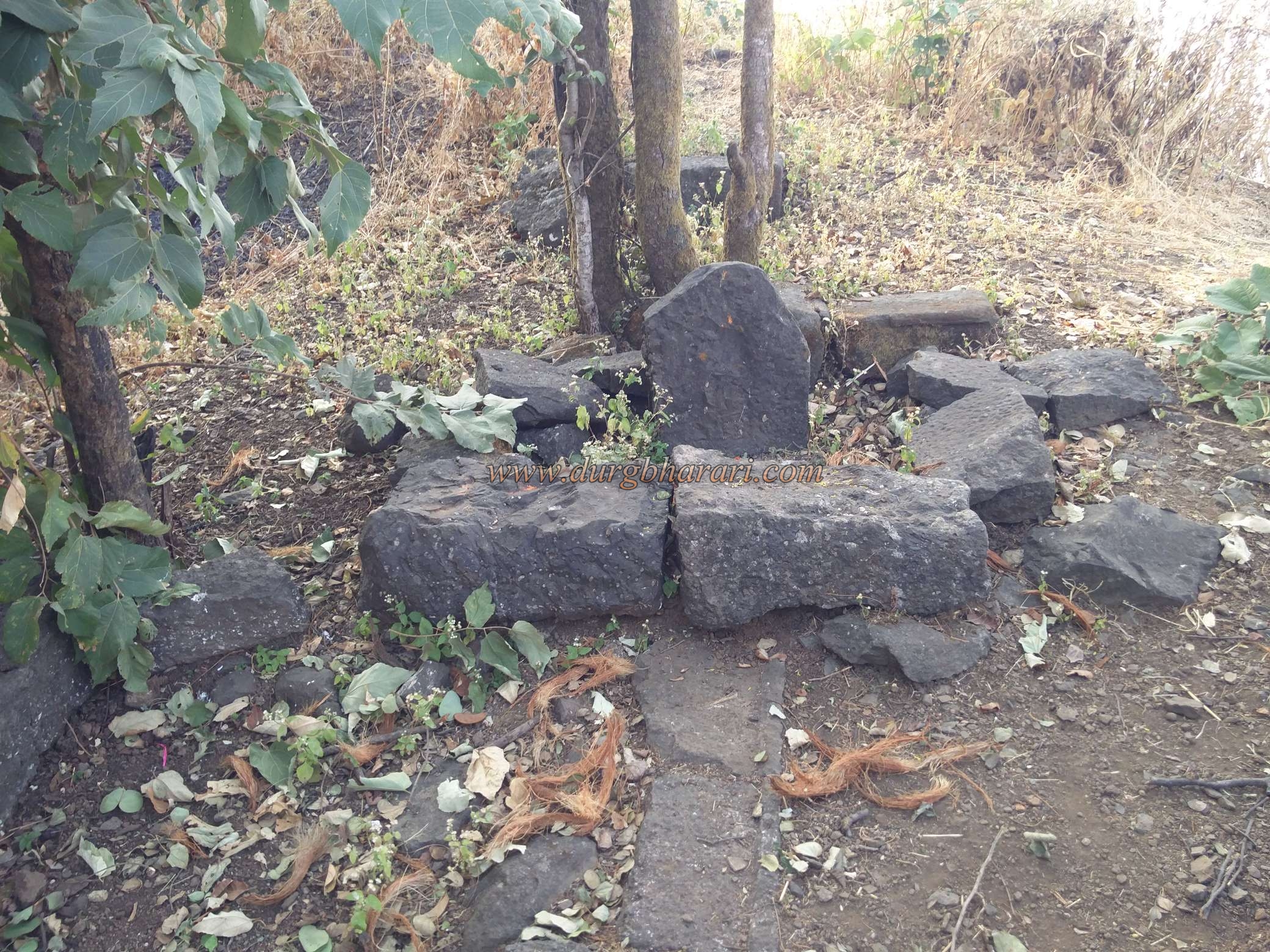
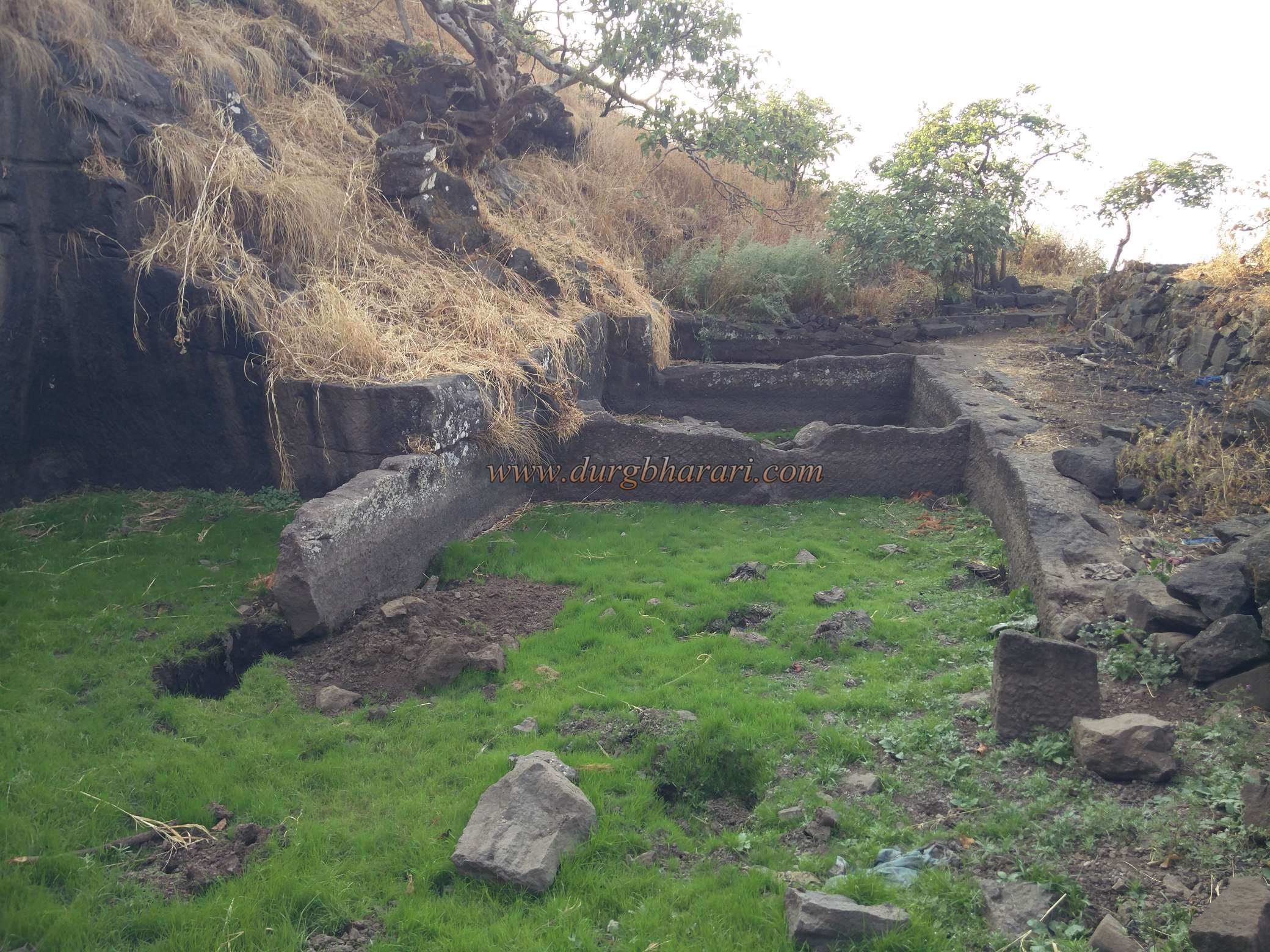
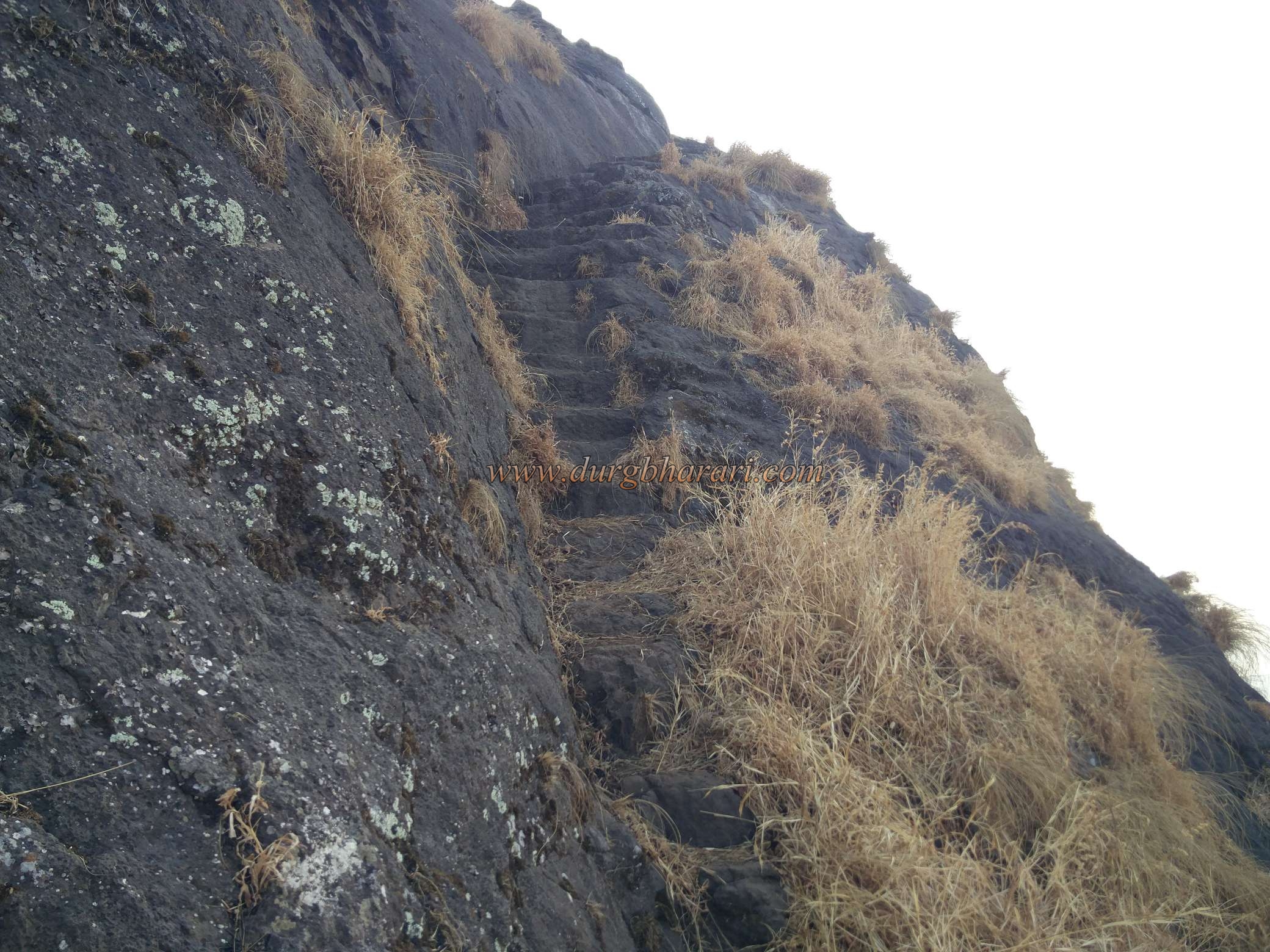
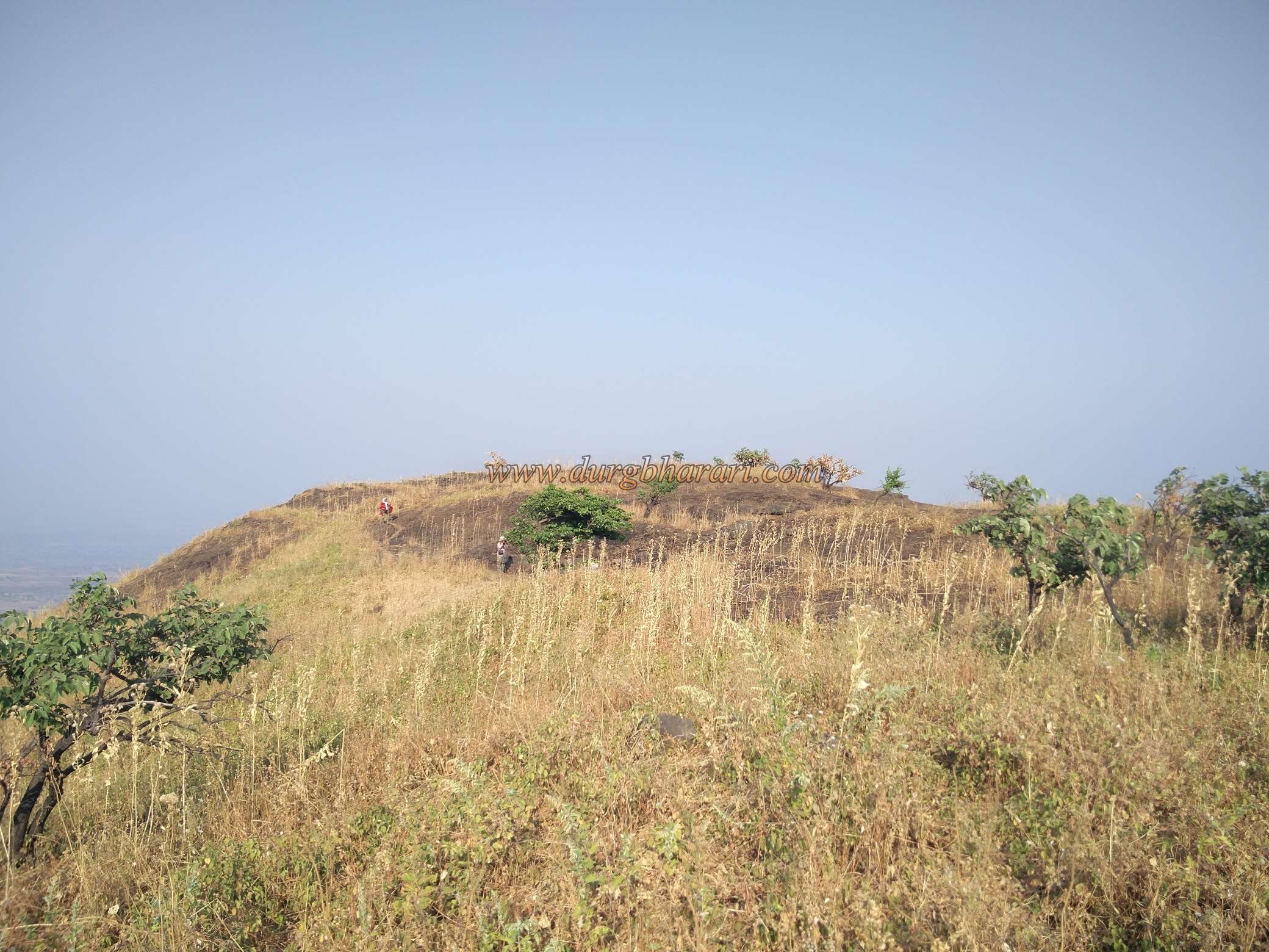
On the way from Pimpri Achlaa village to Pimpri Pada, you can see six hero stones of 5-6 feet height in recent times. Outside the Hanuman Temple in Pimpri-Achala a beautiful stone sculpture of kirtimukh can be seen. The fort located at the back of the village is called Achlaa fort and the fort on its left side is known as Tawalya hill. On the right side of the Achala fort, there is a hillside and a tin shelter can be seen in the ravine below this fort. Below this shelter, there are stones in a dome and the locals call this place the temple of Sati. As the way to the fort goes up from this temple, you should start climbing the fort concerning the temple. As there is no water facility anywhere on the fort and on the way, keep enough water with you. At the beginning of the road, there is a vineyard and then the road takes you to a dense forest and within half an hour you will reach the Sati Temple. The path on the left side of the temple leads to Achala fort and the path on the right leads to Ahivant fort via Bilwadi. From Ahivant fort, you can reach Achla fort by this route. Starting to climb the hill on the left side of the ravine, in 15 minutes we reach the plateau below the fort hill. Here we see a beautiful idol of Hanuman near bushes. after climbing the slippery part of the ravine we come across the hilly region. From here we leave the hill on the left side of the fort and come to the other side of the fort. The road leading to the fort from here has been demolished by the British and huge stones have fallen en route. We start climbing the fort from this collapsed rock. At the beginning of the climb, on the left side, there is a cave with a 3 x 3 size entrance carved in the rock and another big cave has been carved inside this cave. Currently, the inside cave is filled with water. From the next part of the cave, there are steps carved to reach the fort. At the end of these steps, there is a tank without water filled with mud. The ramparts of the fort can be seen above the tank. After a short climb from this tank, we enter the fort. The gate of the fort on this road has been destroyed and its location does not recognize. Your entrance to the fort is from the collapsed ramparts. It takes about two hours to reach on top of the fort from Dagad Pimpri village. The Fort's height is 3766 ft. above the sea level and is spread across 11 acres of land. The edge of the fort has a natural rock cut so ramparts have not been build here. Upon entering the fort, the first look should be taken at the area on the right. On this side, three water tanks carved in a line could be seen. Two of these tanks are filled with soil and the third tank is dry. A lot of Clothes appear to be lying around these tanks. People who recover from major diseases take a bath in the tanks as a tribute to god and leave the old clothes behind. On the front sides of these tanks under a tree, there are some rough idols with are difficult to identify. Behind it, squares of some structures can be seen. Here you can see a group of eight tanks one below the other on the right side of the road. Although there is water in three of these tanks, it is not drinkable as the villager's bath in these tanks when the above tanks dried. After completing this part of the fort, you should turn left from where you entered the fort. In this area, you can see a large building square as well as a tank filled with soil. Currently, the villagers have started removing the soil from the tank. The fort of Achla is very narrow and there is not much to explore except for the tank at the top of the fort. The fort-like Ahivantgad, Saptashrungi, Markandya, Ravlya-Javlya, Dhodap, Salher - Salota, Ramshej, Dehergad, Mohandar, and Kandana are visible from the top of the fort. The Parnal Parvatagrahanakhya mentions that Shivaji Maharaj conquered Achalagad along with Ahivant fort, whereas in Shakavali it is mentioned that Shivaji Maharaj took other forts along with Ahivant fort in November 1670. In Sabhasad Bakhar Achlaa fort is mentioned as Achalgiri fort. The name of Achala fort is included in the list of forts conquered by the Marathas from the Nizam in Nashik during 1753-54. In June 1818 the British officer Captain Briggs also possessed Achlaa fort with Ahivant fort.
© Suresh Nimbalkar
Gallery